Introduction
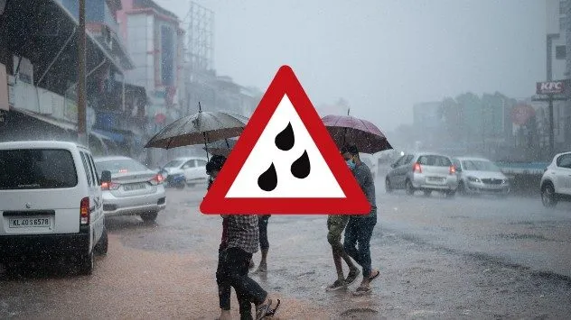
Weather radar maps are crucial tools in meteorology, providing real-time data about precipitation, storm developments, and other atmospheric conditions. As climate change continues to impact weather patterns, the ability to accurately predict weather events through radar technology becomes increasingly important for safety, agriculture, and disaster preparedness.
What Are Weather Radar Maps?
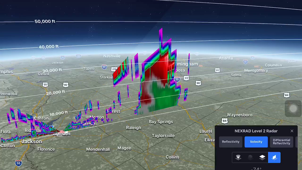
Weather radar maps are graphical representations of weather conditions derived from radar signals that detect precipitation in the atmosphere. These maps are essential for visualising rainfall intensity, storm movements, and other weather phenomena. The radar system emits radio waves that bounce off precipitation particles, allowing meteorologists to interpret the data regarding intensity, location, and movement of weather events.
Recent Developments and Usage
Recent advancements in radar technology have significantly improved the accuracy of weather forecasts. For example, Doppler radar enables meteorologists to assess not only the location of weather patterns but also their rotation and wind velocities, which is vital in predicting severe weather scenarios such as tornadoes. According to the UK Met Office, the integration of weather radar data with satellite information enhances forecasting capabilities, thus allowing for more timely and relevant weather warnings.
In the UK, organisations like the Met Office and BBC Weather utilise weather radar maps as part of their daily reports. These maps are readily available to the public through websites and mobile applications, empowering individuals and businesses to make informed decisions based on current weather conditions.
Importance for Various Sectors
The implications of weather radar technology extend beyond personal and recreational use. Industries such as agriculture rely heavily on accurate weather data to plan planting and harvesting schedules, while the transportation sector uses these maps for route planning and safety. Emergency services also depend on radar data to prepare for inclement weather, ensuring rapid response to natural disasters.
Conclusion
Weather radar maps represent a critical component of modern meteorology, enabling more accurate forecasting and timely alerts. As technology advances, we can expect improvements in the resolution and accuracy of these maps, leading to a better understanding of weather systems and enhanced safety for communities. For individuals and various sectors, staying informed through weather radar maps is essential for navigating the complexities of an ever-changing climate.