
The wider picture
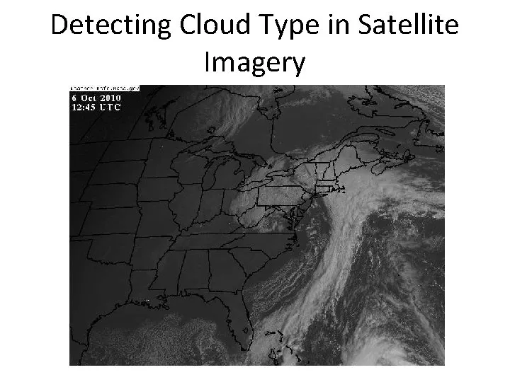
The western disturbance is a periodic weather phenomenon originating over the Mediterranean region. It plays a crucial role in the climatic patterns of northern India, often bringing much-needed rainfall to the region. Recently, satellite images have captured a massive cloud formation stretching nearly 1,000 kilometres across parts of India and Pakistan, indicating a significant weather system moving eastward.
The dense cloud band, associated with an active western disturbance, is expected to bring widespread rainfall, thunderstorms, and gusty winds. Regions including Jammu and Kashmir, Himachal Pradesh, Punjab, Haryana, and parts of Rajasthan are likely to feel the impact of this weather system. Meteorologists have noted that such large-scale cloud buildup is typically associated with strong moisture incursion and atmospheric instability, key conditions for rainfall and severe weather events.
The India Meteorological Department (IMD) has issued warnings of moderate to heavy rainfall in isolated pockets, accompanied by lightning and short-duration intense showers. “The IMD has advised residents and farmers to stay alert, as the rainfall could impact standing crops and disrupt daily activities,” an official stated. This warning comes as the region braces for potential hailstorms and sudden temperature drops, particularly over the plains and foothills of the Himalayas.
Forecasts indicate that rain, thunderstorms, and gusty winds are likely across several north-western states, with wind speeds reaching up to 40-50 km/h. The rainfall could significantly impact standing crops, raising concerns among farmers who depend on stable weather for their livelihoods. Urban areas may also experience waterlogging and traffic disruptions if intense spells occur in quick succession.
As the weather system evolves, the IMD continues to monitor the situation closely. “Weather agencies continue to monitor the evolving system and have advised residents and farmers to stay updated with official advisories as the weather disturbance moves across the region,” a spokesperson from the IMD noted. The interaction between the western disturbance and local weather patterns will determine the intensity and spread of rainfall over the next 48 to 72 hours.
While the cloud mass is expected to bring relief from the heat, it also poses risks. The rainfall is expected to bring a brief drop in temperatures across northern India, which may be welcomed by many but could also lead to unforeseen challenges. Meteorologists emphasize the importance of preparedness as the region gears up for potential severe weather.
As communities brace for the impending weather changes, the focus remains on ensuring safety and minimizing disruptions. The IMD’s proactive measures and timely warnings are crucial in helping residents navigate the challenges posed by this significant weather event. Details remain unconfirmed as the situation develops, but the anticipation of rainfall and its effects on daily life is palpable across the affected regions.